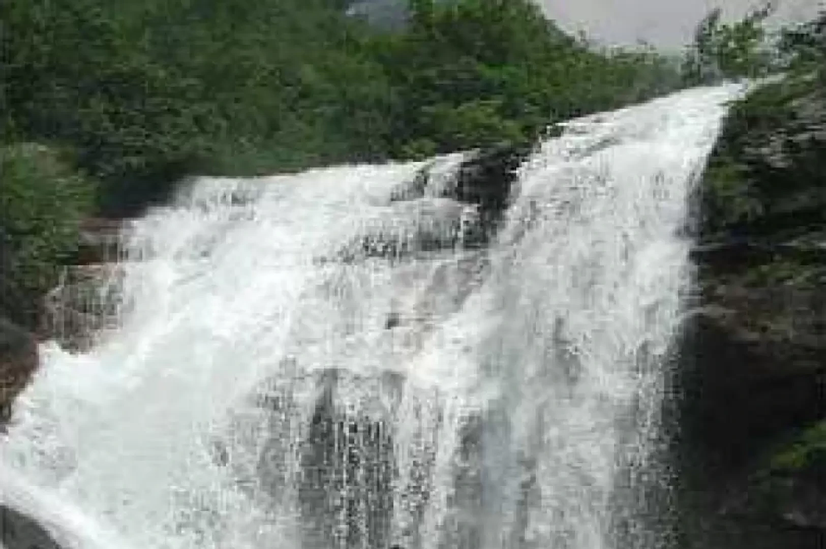
Colombin Waterfalls, from Forno to the Graie Alps

Edited by:
Franco Guadagni
Updated at: 15/08/2026
Access
Road directions
Leave the Turin ring road/[A55] at the Borgaro exit and follow the slip road for 300m (300m), towards Turin/Venaria Reale Nord/La Venaria Reale/Reggia and Gardens. Continue on Provincial Road 501 della Reggia/ for 2.4 km (2.7 km). Keep left to stay on the for 1.1 km (3.8 km). At the roundabout, take the second exit and stay on the for 1.0 km (4.8 km). At the next roundabout, take the first exit and join Provincial Road 1 of the Lanzo Valleys/ for 8.6 km (13.4 km). At the roundabout, take the second exit and stay on the for 10.6 km (24.0 km). Continue straight on the for 140 m (24.1 km). Follow the gentle bend to the right, with the becoming the again, for 600 m (24.7 km). At the roundabout, take the second exit and stay on the for 8.0 km (32.7 km). Turn right onto Provincial Road 33/ and continue for 19.6 km (52.3 km) to Forno Alpi Graie, a hamlet of Groscavallo (TO).
Car park
The free 🅿️ car park is located in Piazza Girardi, in Forno Alpi Graie.
Access by public transport
Forno Alpi Graie is the terminus of the 173 Ceres–Forno Alpi Graie route, operated by Autolinee Giachino s.r.l. (network Extra.To network). There are two daily services in each direction, departing from Ceres Paese at 07:55 and 17:20 and arriving in Forno Alpi Graie at 09:25 and 18:15 respectively. Please check the official timetable before setting off.
Distance and journey time
🕒 Journey time: 78 minutes
📏 Distance: 52.3 km
GPS navigation
Important information
The directions provided were verified on the date the route was mapped. Before setting off, we recommend checking for any changes to the route or road conditions. For up-to-date information, please consult Google Maps or Apple Maps.
Introduction
A short, easy walk, but well worth doing for the natural surroundings.
Description
From Forno Alpi Graie (at the bottom of the Val Grande di Lanzo, the northernmost of the three) DO NOT take the path leading to the Daviso mountain hut, which climbs to the left of the stream (looking upstream); instead, head into the village and take a path that starts on the right-hand side of the stream. The path is fairly level. After ten minutes, you’ll reach a junction signposted ‘Gias Travet’ to the right and ‘Gias Colombin’ to the left, with an estimated time of 40 minutes (it actually says 0.40 hours, and a mathematician might think that means 24 minutes… but that’s beside the point!). The 40 minutes are more than enough; in fact, after half an hour along the valley floor, you climb for about ten minutes up the right-hand side of the stream, and suddenly you find yourself halfway up the final section of the waterfall. If, as happened to us, it’s a particularly hot day, you can even have a dip, or go straight into the waterfall and enjoy a vigorous massage from the water cascading down from a height of about ten metres… It’s a walk that’s also highly recommended for its natural surroundings. These days, it’s not easy – as happened to us – to spot three St John’s lilies and four martagoni lilies on the same walk, without even going out of your way to look for them! … and you walk amongst the laburnums!
Comments (0)
Sign in to leave a comment